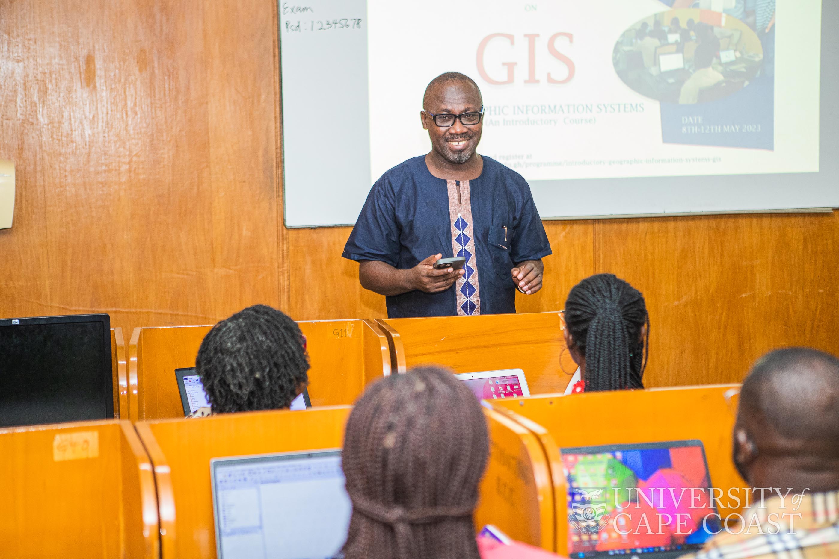
The Director of Africa Centre of Excellence in Coastal Resilience (ACECoR), Denis Aheto, has urged the working class to invest in professional development to advance their career.
He said workers must be equipped with new knowledge and skills for rapid progressive growth and also get better opportunities in other areas and their field of specialisation.
“ You have to invest in buying new books, softwares, online educational materials to equip yourselves for your personal development-it may open doors of opportunities for you” he stressed.
Prof. Aheto was speaking at the opening of a five-day orientation workshop organised by the Centre for Coastal Management (CCM) at the University of Cape Coast.
Prof. Denis W. Aheto giving a remark at the opening ceremony of the workshop
The Director of ACECoR explained that the workshop formed part of the mandate of CCM to build the capacities organisations and individuals through short courses in relevant areas of coastal development.
He indicated that CCM through had been organising short courses targeting professionals in engaged in the field of integrated coastal management, fisheries management, climate change adaptation and geographic information systems or individuals whose work were affected by issues of fisheries, development and physical planning in coastal areas.
Prof. Aheto said Geographic Information Systems is a multi-disciplinary approach to understanding drivers and pressures of environmental change. “GIS is relevant in the Humanities and Sciences to understand and address issues affecting the environment”.
He urged the participants to be active and involved in all sessions of the workshop.
Topics for the workshop include : Introduction to Geographic Information Systems and Principles of Remote Sensing; Introducation to Windows Explorer, QGIS Browser and Explore GIS datat; Data Structures and Model; Introduction to QGIS Desktop; Creating Maps with QGIS; Coordinate Systems; Map Projection; Coordinate and projection systems; Geo-referencing. Others are: Geo-referencing raster data; Data Capture and Creation; Vector and Data Structure; Map Creation and Visualisation; Database and Attribute Table; Global Positioning System; Data Collection: Field data collection using handheld GPS units; Conversion of Coordinate units, Displaying GPS Coordinates in QGIS.
The workshop was attended by academics, surveyors, architects, engineers and students.
For more pictures click here


